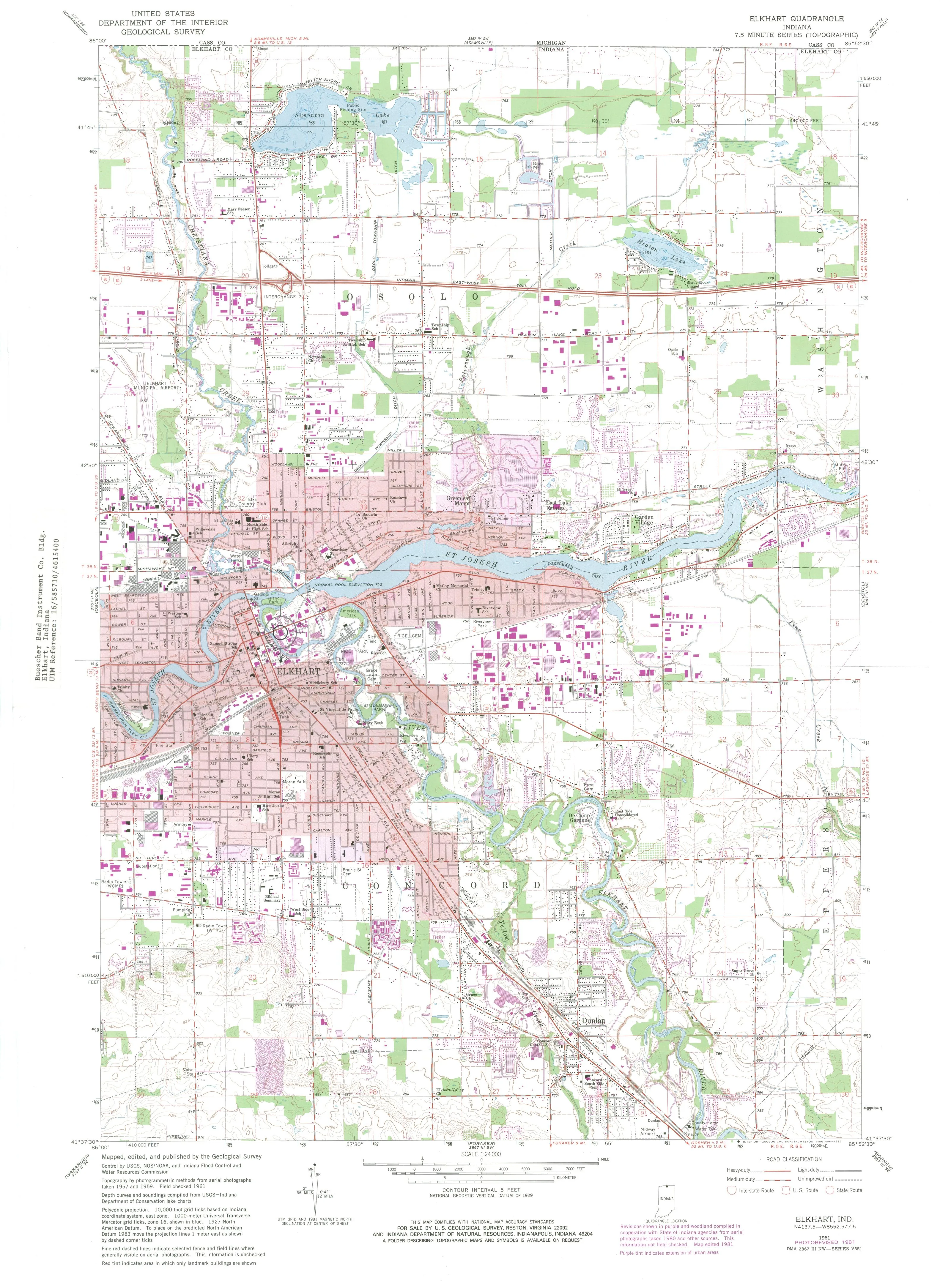
Full Elkhart city topographic map at 1:24,000 scale. Shows the St. Joseph River, Elkhart River, railroad lines, the Buescher Building location at 225 East Jackson Boulevard, and the residential areas where the Lorenz family lived. Important geographic context for the memorial site map view.
Image
Elkhart Usgs Topographic (1961)
Current location
Embedded in NARA NAID 137889443 PDF
Sources
NARA Catalog API v2 queries for Lorenz family WWII and Buescher Building records